Eurocode 7 (EN 1997-1:2004) Part 3 governs all field investigations in Ireland, and in Ennis, the CPT (Cone Penetration Test) provides a level of stratigraphic detail that traditional borings simply cannot match. The town sits astride the River Fergus, where the sequence of soft alluvial clays, submerged peat lenses, and the underlying limestone-derived glacial till demands near-continuous profiling. We push a 60-degree conical tip with a 10 cm² cross-section at a constant 20 mm/s rate, recording tip resistance (qc), sleeve friction (fs), and dynamic pore pressure (u2) every 10 mm. This real-time data stream allows our engineers to identify thin drainage layers, quantify overconsolidation ratios, and detect the exact interface between compressible organic silts and the competent boulder clay without missing transitional boundaries. For developments near the Fair Green or along the Quin Road, where groundwater fluctuates with tidal influence extending inland, the CPT’s piezocone module becomes critical in mapping hydrostatic profiles and assessing the need for dewatering before deep excavations commence.
Ten-millimetre data spacing reveals the thin drainage layers and peat pockets that a borehole log with 1.5-metre sampling intervals will inevitably miss.
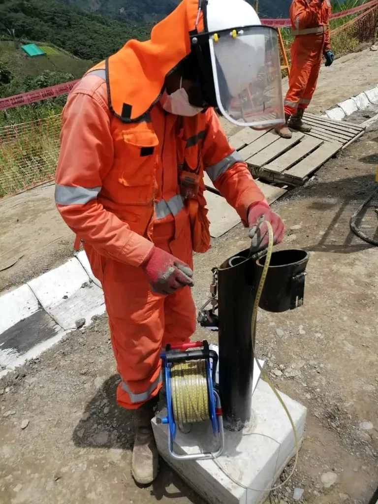
Methodology applied in Ennis
Critical ground factors in Ennis
A six-storey mixed-use development we evaluated near the Clon Road overconsolidated glacial till mapped in the desk study, but the CPT trace told a different story. Between 4.2 and 5.8 metres below ground level, the pore pressure sensor registered a sharp spike while tip resistance plummeted below 0.4 MPa — a classic signature of a buried soft clay lens, probably an infilled paleochannel of a Fergus tributary. The standard penetration test in an adjacent borehole had averaged N=18 across that interval, giving a false sense of adequate bearing capacity because the split spoon had sampled a thin sand stringer within the soft mass. Had the foundation design relied solely on the SPT log, a differential settlement of over 40 mm would have been locked into the east wing of the building. We ran additional seismic refraction lines to map the lateral extent of the channel and redesigned the pad footings with a variable-depth excavation profile, cutting through the soft zone to bear on the dense till below 6.5 metres.
Our services
Our CPT testing programme in Ennis covers the full workflow from initial site walkover to final factual report. Every sounding is supervised by an engineer with direct experience on the glacial and alluvial sequences of County Clare.
Piezocone (CPTu) Profiling
Continuous measurement of qc, fs, and pore water pressure (u2) with dissipation tests at specified depths to determine the coefficient of consolidation and equilibrium groundwater profile. Essential for settlement analysis in Fergus silts.
Soil Behaviour Type Classification
Real-time and post-processed soil behaviour type charts using Robertson (1990) and updated 2016 normalised methods. We correlate CPT data with adjacent borehole logs to calibrate the classification for Ennis’s specific glaciofluvial deposits.
Foundation Parameter Derivation
Direct interpretation of net cone resistance to estimate undrained shear strength (su), overconsolidation ratio (OCR), constrained modulus (M), and equivalent SPT N60 values. Reports include bearing capacity estimates for shallow and piled foundations to Eurocode 7.
Questions and answers
What is the typical cost of a CPT sounding in Ennis?
A single CPT sounding in Ennis typically ranges from €170 to €240 per metre depth, depending on whether you require a standard electric cone or a full piezocone (CPTu) with pore pressure measurement. Mobilisation to sites within Ennis town is included, though locations in the wider Clare countryside such as out towards Kilrush or Corofin may carry an additional travel surcharge. A typical 20-metre profile with three dissipation tests runs between €3,400 and €4,800 plus VAT. We provide a fixed-price quote after reviewing the site access and anticipated refusal depth based on nearby public borehole records from the GSI database.
How does a CPT compare to a standard borehole with SPTs?
The CPT provides a continuous vertical profile with data every 10 mm, whereas a borehole with SPTs typically samples at 1.0 to 1.5-metre intervals. This means the CPT detects thin layers — such as a 200 mm peat seam or a sand lens — that an SPT can easily miss. Additionally, the CPT measures in-situ pore pressure and generates a friction ratio (Rf) that permits soil behaviour type classification without sample disturbance. The trade-off is that the CPT cannot recover physical samples for laboratory testing, so the two methods are complementary: we often run CPT soundings first to map the stratigraphy in detail, then target a reduced number of boreholes at critical locations to recover undisturbed samples for triaxial or consolidation testing.
What depth can a CPT reach in Ennis ground conditions?
In the soft alluvial clays and silts along the River Fergus, our 20-tonne CPT rig routinely reaches 25 to 30 metres without difficulty. The limiting factor in Ennis is typically the dense flint-gravel layer within the glacial till, where tip resistance can exceed 30 to 35 MPa. At that point, the cone reaches refusal to protect the load cell from damage. In areas of the town centre where shallow limestone bedrock is present — often within 5 to 8 metres of the surface, especially near the Cathedral — refusal occurs much earlier. We review Geological Survey of Ireland bedrock maps and nearby well records before mobilising to predict the likely refusal depth and advise whether a pre-drilled pilot hole through the gravel is warranted.