Ennis has grown steadily from its medieval roots along the River Fergus, pushing development onto glacial tills and alluvial pockets that vary sharply within a single site. The National Annex to I.S. EN 1998-1:2005 demands a reliable shear wave velocity profile for every structure in seismic class 2 or above, and that is exactly what we deliver with our MASW array. In the compact urban blocks near the Cathedral of St Peter and St Paul, where access limits drilling, we combine surface geophysics with a seismic refraction line to resolve velocity inversions that a single method might miss. Our VS30 maps have supported school extensions, flood-defence walls, and residential schemes across the Clare County Council area, always with an emphasis on repeatable, transparent data.
A VS30 map is only as good as the dispersion curve behind it — we invert with three independent algorithms before reporting a final value.
Methodology applied in Ennis
Critical ground factors in Ennis
I.S. EN 1998-1:2005 + National Annex leaves little room for interpretation: if you do not know the VS30, you default to ground type E, which carries the highest spectral accelerations and the heaviest reinforcement. In Ennis, where pockets of soft alluvium sit directly beside limestone outcrops, that default assumption can over-design one corner of a building while under-designing another. A MASW campaign removes the uncertainty, giving the design team a site-specific elastic response spectrum. We have seen projects where a correctly measured VS30 of 360 m/s — class C — saved tens of thousands in concrete and steel compared with the conservative type-E envelope. The real risk is not the seismic hazard itself; it is designing blind when the data is easy to collect.
Our services
Our Ennis-based MASW work fits two core project needs: site classification for new-build structures and microzonation studies for larger land parcels. Every survey includes a full dispersion-curve report with uncertainty bands.
Single-Site VS30 Classification
One MASW line, processed to a 1D Vs profile and a VS30 value for direct input into the Eurocode 8 ground-type table. Suitable for houses, apartment blocks, school extensions, and commercial units within Ennis town and its environs.
Multi-Line Microzonation
Grid of intersecting MASW lines across industrial parks, flood-relief schemes, or road corridors. Delivers a contoured VS30 map that the design team can use to vary foundation parameters across a large footprint.
Questions and answers
What does a MASW survey cost for a standard house site in Ennis?
For a single-family dwelling plot in the Ennis area, a complete MASW survey with a VS30 classification report typically runs between €1.350 and €2.460, depending on access conditions and the number of spreads required. If the site is tight — for example, a garden plot between existing terraced houses — we may need a shorter spread and an additional passive-MASW recording, which sits at the upper end of the range. The price includes mobilisation from our Clare base, the field crew, data processing with three inversion algorithms, and a signed report ready for submission to the building control authority.
Can MASW replace boreholes for site classification under Eurocode 8?
MASW gives you the shear-wave velocity profile needed for the ground-type table in I.S. EN 1998-1, and it is fully accepted for that purpose. However, it does not replace a borehole for strength parameters, soil description, or bearing capacity. In practice, most Ennis projects run one or two boreholes alongside the MASW line; we use the borehole logs to calibrate the Vs profile and the MASW result to fill in the gaps between boreholes, giving a continuous model rather than point data.
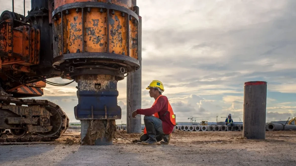
How long does the fieldwork take, and will it disrupt my site?
A single MASW line on a typical Ennis site takes about two hours of active recording. We lay out a 46-metre cable with geophones, strike the plate 5 to 10 times per spread, and pack up. There is no drilling, no spoil, and no heavy plant — just a sledgehammer and a seismograph. The only requirement is a strip of reasonably level ground about 50 m long. If that is not available, we can run a shorter array and supplement with passive recordings using ambient noise, which adds roughly an hour to the field time.
What ground types do you typically find around Ennis, and how does that affect VS30?
Ennis sits on a mix of limestone bedrock, glacial till, and alluvial silts along the River Fergus. Where the till is dense and shallow, VS30 often exceeds 360 m/s (class C or B); where alluvium is thicker, values can drop into the 180–360 m/s range (class D). We have also encountered very soft clays in former floodplain areas that push the VS30 below 180 m/s (class E). The variation can be surprising — two sites 200 m apart can fall into different ground types, which is exactly why a site-specific measurement matters.